HOME – INTRODUCTION
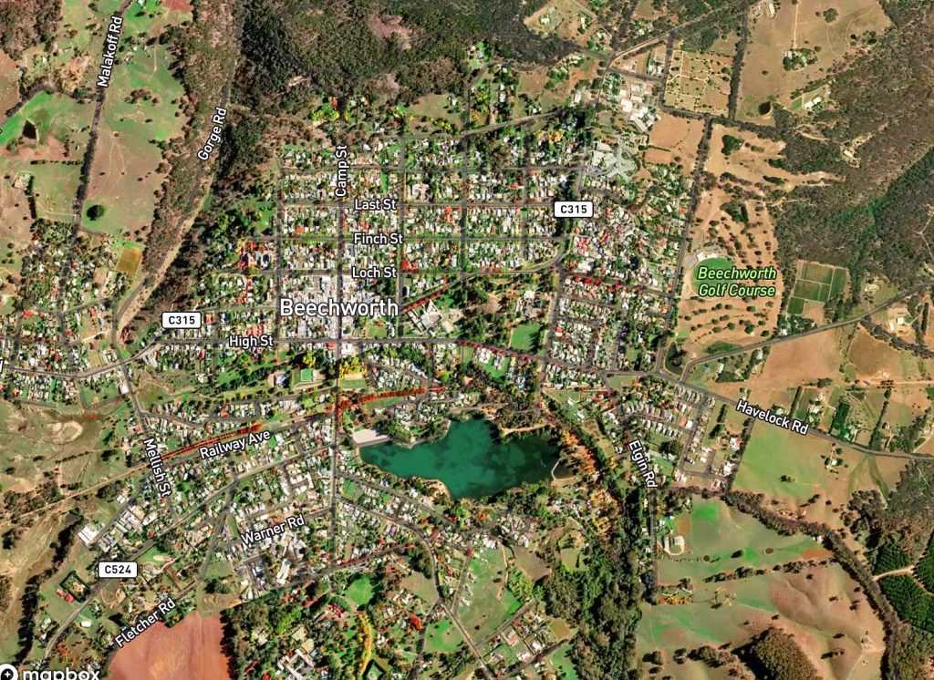
Beechworth is located in the North-East of Victoria, 290km from Melbourne and 600km from Sydney. Beechworth has a population of 3,290 (2021 Census) in a town area of 8 square kilometres.
The original inhabitants and traditional owners of the Murray River area near Albury and Wodonga are the Wiradjuri, Wavereoo and Dhudhuroa people, with the Min-jan-buttu and Ya-itma-thang people (the Pallanganmiddang nation) closer to the area of present-day Beechworth, who call it Barmootha or Baarmutha – “the place of many creeks” and nearby Tarrawingee that they call Karawingi – “the place of the emu”.
It is estimated that in the early 19th century, the local aboriginal population is between 800 and 1,500.
They lead a semi-nomadic existence, moving about according to the season. In spring, they take advantage of the plentiful water and food of the open plains and in summer they gather with other local tribes near Albury then ascend Mount Bogong for the annual Bogong moth feast and escape the heat for the cooler high-altitude temperatures. At the end of the summer, they set fire to the high plains to ensure regeneration, while winter is spent amid the shelter provided by the rocky outcrops of the foothills.
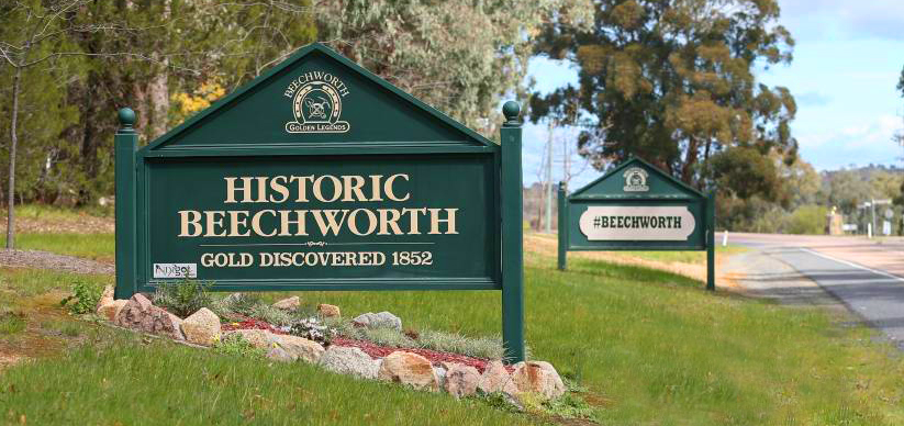
The township of Beechworth is situated 1,805 ft (550 m) above sea-level on a plateau on the continental side of the Great Dividing Range, at a junction of various granite types and colluvial sedimentary rocks, ranging in age from the Devonian Period right through to the Tertiary Period – a few hundred million years in difference. The area is fed by three streams – Silver Creek, which joins Spring Creek, which in turns joins Reedy Creek. All three are auriferous (containing gold). Spring Creek will be the site of the first gold discovery in Beechworth in 1852 and over 4 million ounces (115 tonnes) of gold will be extracted from the ground around the town in the first 14 years of white settlement, equaling approximately $6 billion in today’s currency.
The timeline pages on this website – 1800s Timelines (1880-1849, 1850-1859, 1860-1869 & 1870-1899), 1900s Timelines (1900-1929, 1930-1959 & 1960-1999) and the 2000s Timeline – chart the European development of Beechworth.
Starting in 1800, the entries detail various relevant events in the vicinity leading up to the discovery of gold in Beechworth and the beginning of white settlement in 1852, to put the town’s history into perspective.
This website is an ongoing work-in-progress, so there may be occasional errors in the timelines (entries put in the wrong place, names spelt incorrectly etc.). Please send any corrections/updates/new information to us via the CONTACT page on the top menu.